Home »
Incoming conditions to be ripe for ice and compact snow
A weather event is anticipated to impact the East Kootenay within the next 24 hours. Mainroad East Kootenay Contracting Ltd.’s meteorological service is predicting snowfall accumulation of varying intensity in the region.
Snow is forecast to start falling on Thursday morning and continue through to early Friday morning.
“We expect between five to 10 cm in most locations; however, we expect heavier precipitation approaching 15 cm or higher in western areas such as Moyie-Yahk area down Highway 95 to Idaho border crossing, and at higher elevation such as Fernie and Panorama,” Mainroad said this morning in a stakeholder update.
“In addition, we are expecting temperatures to stay well below freezing for the rest of the week, with most locations predicted to stay around -10 or lower until at least Saturday.”
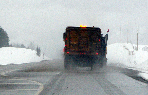
The precipitation along with very cold temperatures presents a risk of ice and compact snow hazards, Mainroad warns.
Please exercise caution when driving, be sure you and your vehicle are properly prepared, and leave extra time when planning your trip. Use www.drivebc.ca to check road conditions before your trip.
e-KNOW