Home »
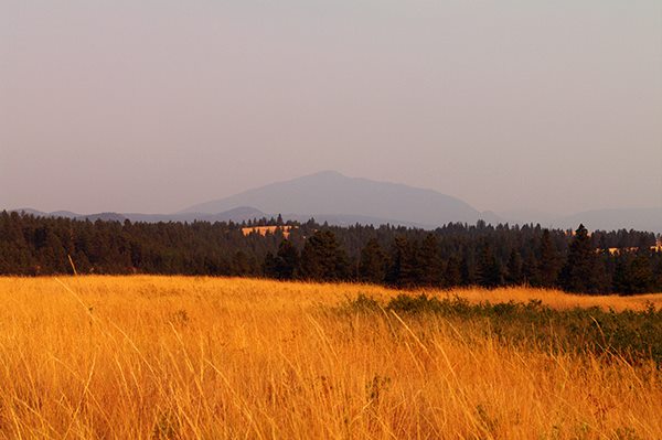
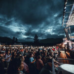
Heavy smoke visible in East Kootenay Trench
People living in the communities of Cranbrook, Fernie, Elkford, Sparwood, Fort Steele and Kimberley may notice a large column of smoke in the air as a result of proactive burning starting on Monday, Aug. 11, around a lightning-caused wildfire eight kilometres north of Fisher Peak.
The wildfire is located in steep and dangerous terrain and this burn-off is necessary to limit the potential growth and direction of the fire. The objective is to guide the fire toward control lines at the valley bottom and contain the fire to the areas between Tanglefoot Creek and Nacnud Creek. No communities or structures are threatened at this time.
With hot and dry conditions forecast through next week and the potential for more thunderstorms on Tuesday and Wednesday, the Southeast Fire Centre is urging the public to be extra cautious in the backcountry. All person-caused fires are preventable and these incidents may affect the ability of the firefighting crews to respond to naturally occurring fires.
The Southeast Fire Centre would like to remind aircraft operators that when smoke or flame are identified in a wildland area the surrounding airspace (over a forest fire area, or over any area that is located within five nautical miles of a forest fire, at an altitude of less than 3,000 feet above ground level) automatically becomes flight restricted under the authority of Section 601.15 of the Canadian Aviation Regulation.
As per Section 601.17 of the regulation, all air traffic wishing to access the restricted air space of a wildfire incident may do so only with the permission of the regional wildlife coordination centre responsible for managing that fire. Aircraft will be granted access to restricted airspace only when and if it is safe to do so.
To report a wildfire, call 1 800 663-5555 toll-free or *5555 on a cellphone.
For the latest information on current wildfire activity, burning restrictions, road closures and air quality advisories, go to:https://www.bcwildfire.ca
You can also follow the latest wildfire news on:
* Twitter at https://twitter.com/BCGovFireInfo
* Facebook at https://facebook.com/BCForestFireInfo
Southeast Fire Centre
Lead image: Smoke has been filling the skies of the East Kootenay for several weeks now as heat and dry conditions are making our forests tinder dry. Ian Cobb/e-KNOW