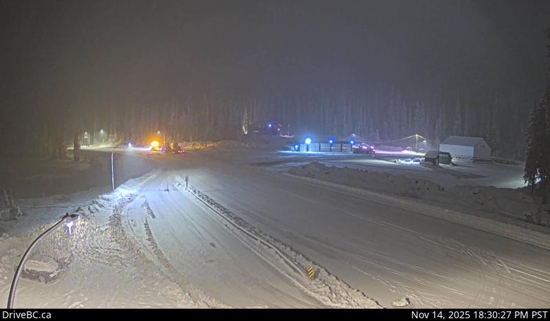
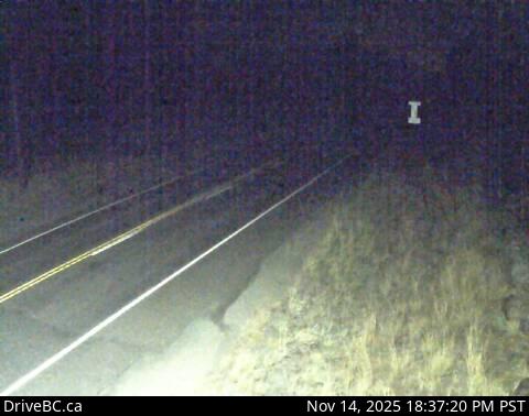
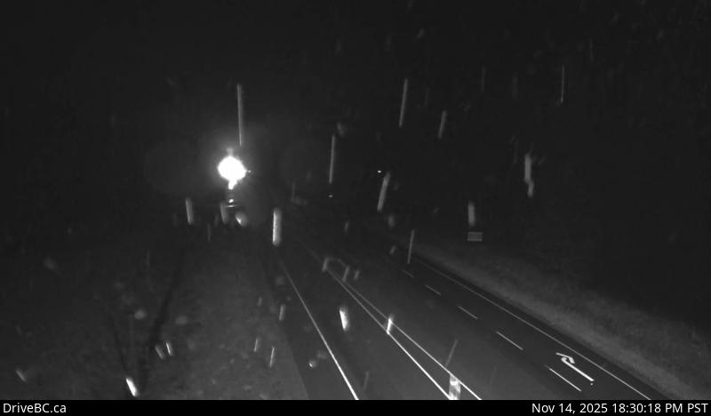
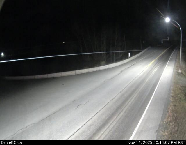
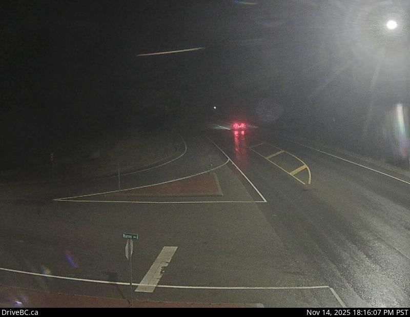
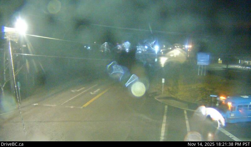
Hwy 3, Salmo Creston Highway Summit, looking east.
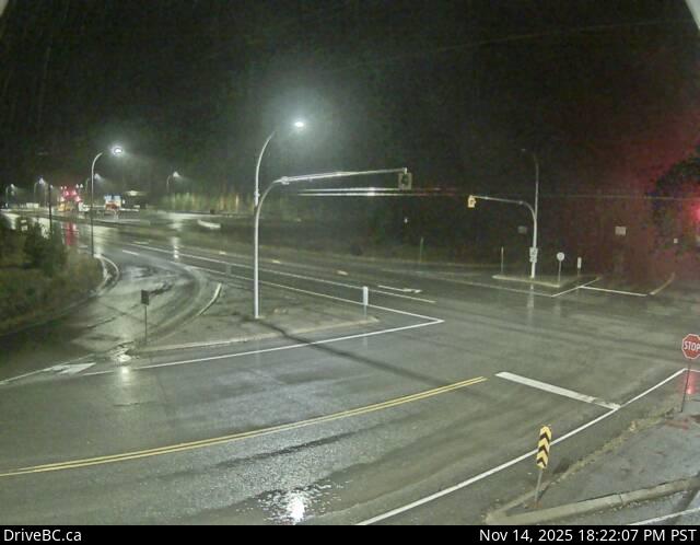
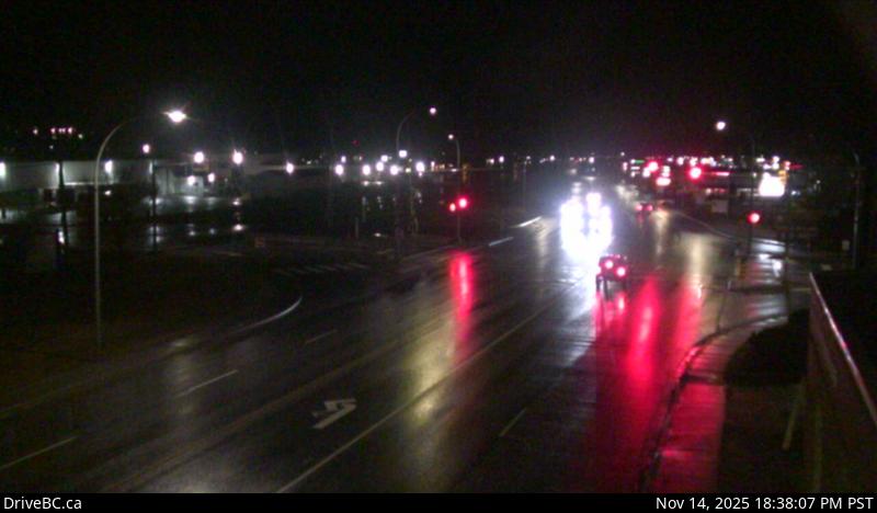
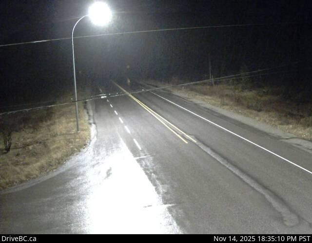
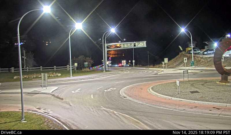
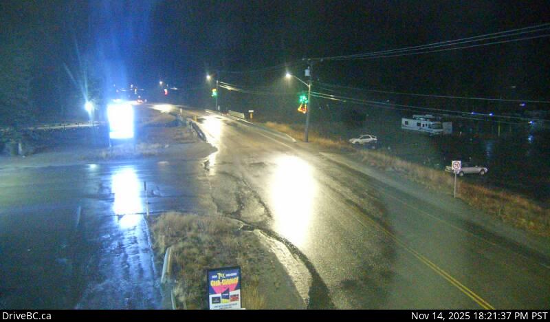
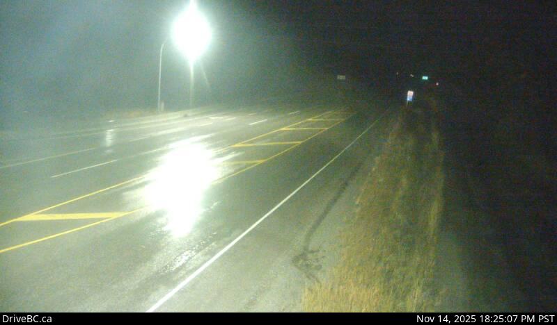
Hwy 3, Salmo Creston Highway Summit, looking east.
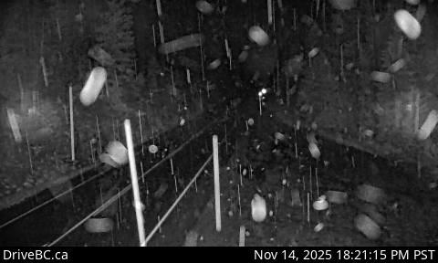
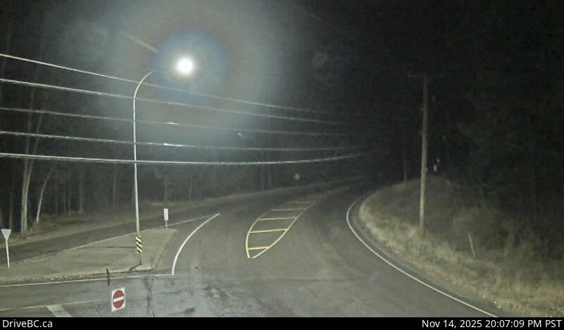
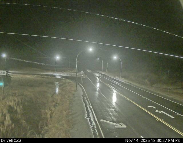
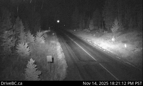
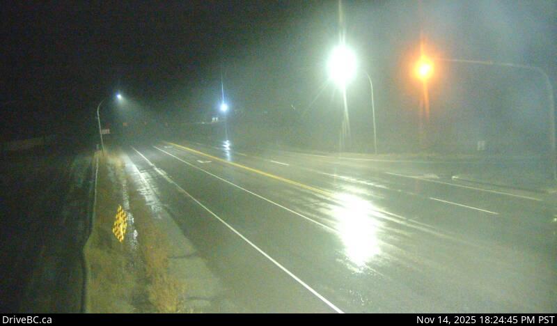
Hwy 3, Salmo Creston Highway Summit, looking east.
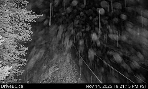
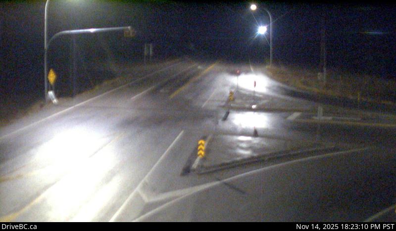
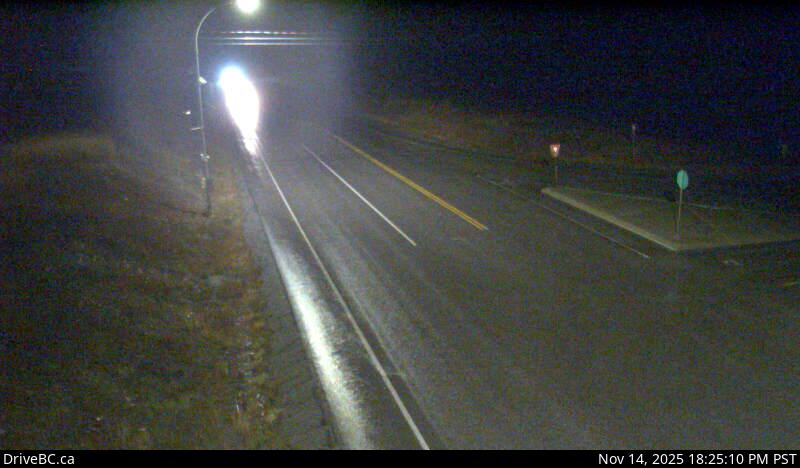
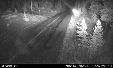
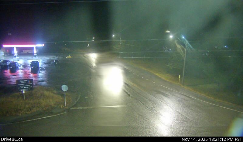
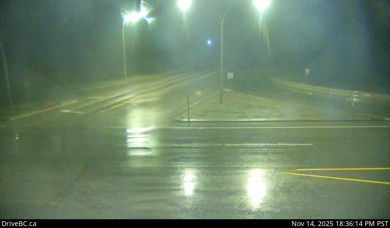
Hwy 3, Salmo Creston Highway Summit, looking east.
Hwy 3, Salmo Creston Highway Summit, looking east.
Hwy 3, Salmo Creston Highway Summit, looking east.
Hwy 3, Salmo Creston Highway Summit, looking east.
Hwy 3, Salmo Creston Highway Summit, looking east.
Hwy 3, Salmo Creston Highway Summit, looking east.
Hwy 3, Salmo Creston Highway Summit, looking east.
Hwy 3, Salmo Creston Highway Summit, looking east.
Hwy 3, Salmo Creston Highway Summit, looking east.
Hwy 3, Salmo Creston Highway Summit, looking east.
Hwy 3, Salmo Creston Highway Summit, looking east.
Hwy 3, Salmo Creston Highway Summit, looking east.
Hwy 3, Salmo Creston Highway Summit, looking east.
Hwy 3, Salmo Creston Highway Summit, looking east.
Hwy 3, Salmo Creston Highway Summit, looking east.
Hwy 3, Salmo Creston Highway Summit, looking east.
Hwy 3, Salmo Creston Highway Summit, looking east.
Hwy 3, Salmo Creston Highway Summit, looking east.
Hwy 3, Salmo Creston Highway Summit, looking east.
Hwy 3, Salmo Creston Highway Summit, looking east.
Hwy 3, Salmo Creston Highway Summit, looking east.