Home »
Friday Highways Report for the East Kootenay
Friday Highways Report for the East Kootenay is a snapshot to give the travelling public a glimpse of what they may be heading into or out of this weekend.
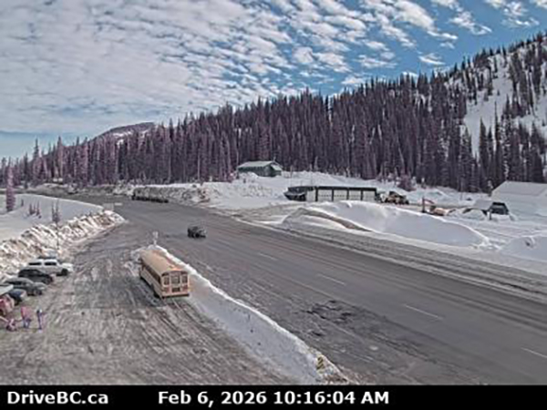
Highway 43
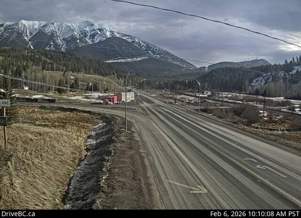
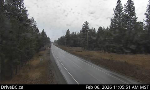
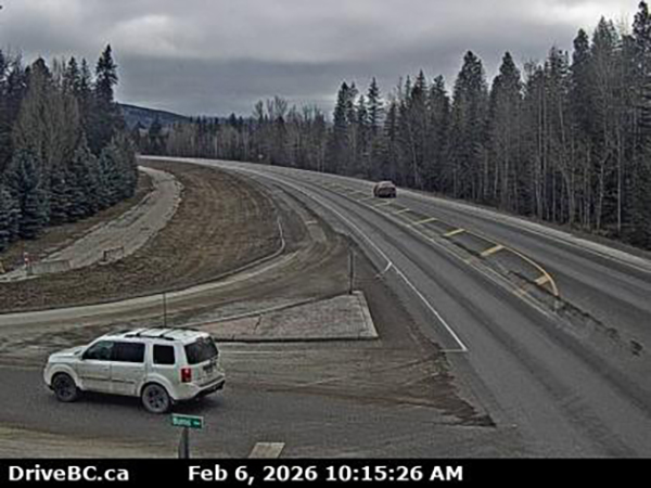
Sparwood to Elkford
(Pictured above: Elkford.)
No conditions reported.
(Pictured above: Highway 43 at Line Creek.)
Highway 3
Sparwood to B.C. and Alberta Border
(Pictured above: Highway 3 east of Sparwood.)
No conditions reported.
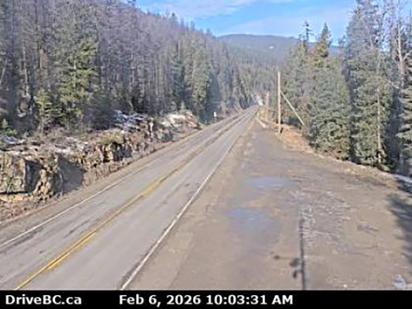
Sparwood to Fernie
 (Pictured above: Highway 3 at Hosmer.)
No conditions reported.
Fernie to Elko
(Pictured above: Highway 3 at Morrissey, west of Fernie.)
No conditions reported.
Highway 3/93
Elko to Cranbrook
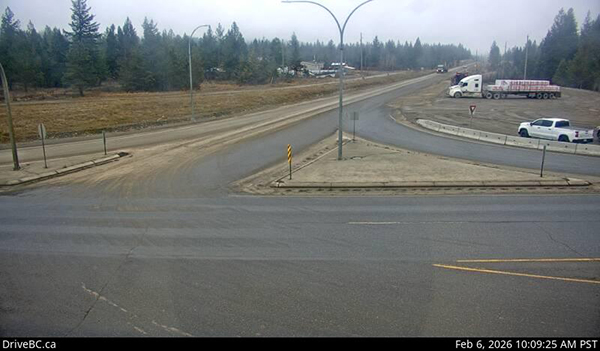
(Pictured above: Highway 3 and 93 junction at Elko.)
Fog patches between Elko and Wardner.
(Pictured above: Highway 3/93 at Steamboat near Ha Ha Creek Road.)
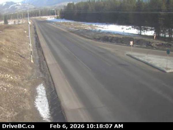
Highway 3/95
Curzon Junction to Cranbrook
(Pictured above: Highway 3/95 at Irishman Creek.)
(Pictured above: Highway 3/95 near Moyie.)
Between Moyie and Cranbrook: Black ice. Limited visibility with fog. Winter driving conditions. Watch for slippery sections. Fog patches.
Fog patches between Moyie and Yahk.
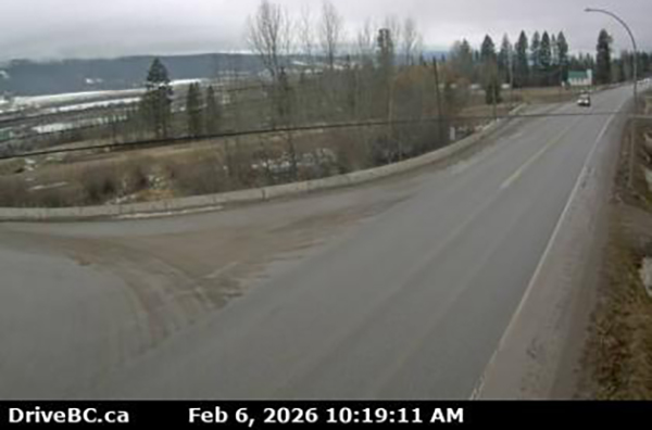
Highway 93/95
Fort Steele to Canal Flats
(Pictured above: Highway 93/95 and Highway 95 A junction at Wasa.)
Between Cranbrook and Wasa: Limited visibility dense fog. Winter driving conditions. Fog patches.
Canal Flats to Radium Hot Springs
 (Pictured above: Highway 93/95 at Canal Flats.)
No conditions reported.
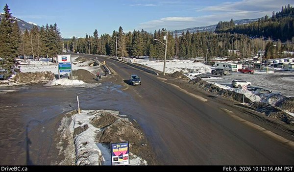
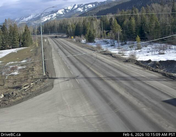
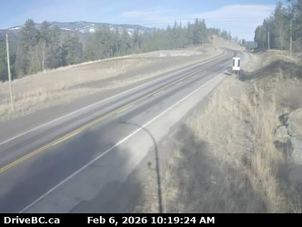
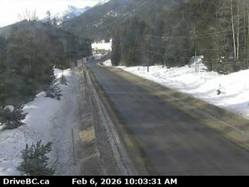
Highway 95A
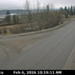
Cranbrook to Kimberley
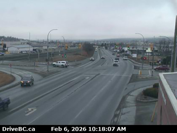
(Pictured above: Cranbrook.)
Black ice. Limited visibility with fog. Winter driving conditions. Watch for slippery sections. Fog patches.
Kimberley to Wasa Junction
(Pictured above: Highway 95A in Kimberley)
Black ice. Limited visibility with fog. Winter driving conditions. Watch for slippery sections. Fog patches.
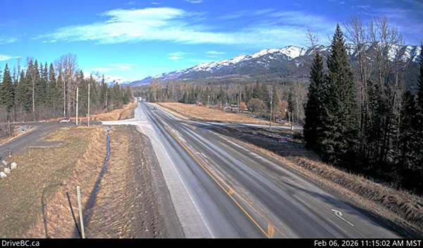
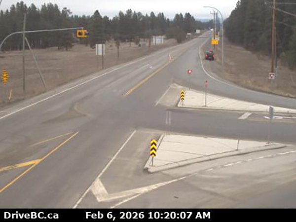
Highway 93
Radium Hot Springs to Alberta Border
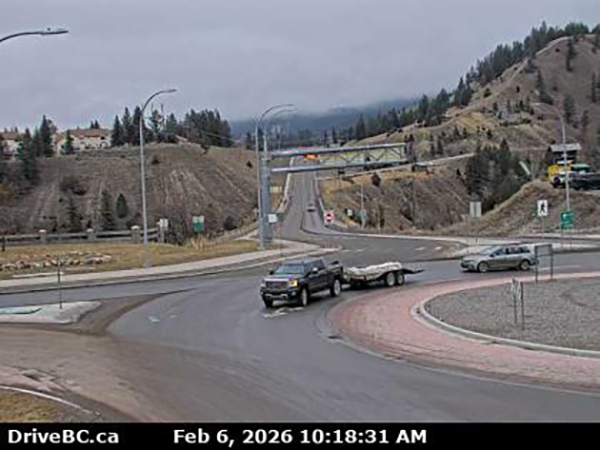
(Pictured above: Radium Hot Springs roundabout.)
Watch for slippery sections.
US/Montana border to Highway 3
Camera down.
Fog patches.
Highway 95
Radium Hot Springs to Golden
Limited visibility with fog.
Curzon Junction to Kingsgate
Camera down.
Fog patches.
(Pictured above: Kootenay Pass/Highway 3.)
(Pictured above: Toby Creek Road near Panorama Mountain Resort.)
PLEASE NOTE: Information contained in this report is taken from DriveBC and over the period of the day may become obsolete. Please consult DriveBC for the most up-to-date information. Or check e-KNOW’s home page to see regional highway cameras.
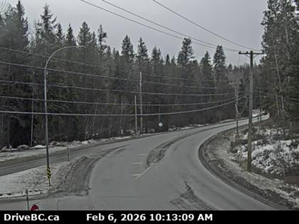
Lead image: Highway 95A at Brisco. Images from DriveBC
e-KNOW