Home »
Prescribed burn planned within City of Kimberley
The BC Wildfire Service will be supporting the City of Kimberley in conducting a wildfire risk reduction prescribed burn within the municipality.
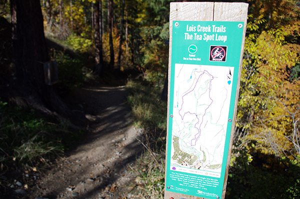
This burn will take place northeast of 8th Avenue and run alongside the Lois Creek trail network, covering up to 14 hectares.
The exact timing of this burn will depend on weather and site conditions, but could begin as early as Sunday, September 8.
Smoke may impact the residents closest to the burn area and be visible from the City of Kimberley, the surrounding area, and motorists travelling along Highway 95A.
Burning will proceed if conditions are suitable to achieve objectives and allow for smoke dispersal, though smoke may linger in the following days, particularly the morning after burn operations. Despite all precautions to manage it, unintended smoke impacts are possible after any burn.
Key goals of both prescribed burns include:
- Reduce continuous build-up of fine fuels and woody debris;
- Decrease shrub coverage;
- Reduce the risk of catastrophic wildfires in the area.
Fire is a normal and natural process in many of B.C.’s ecosystems. The BC Wildfire Service works regularly with land managers to undertake fuel management activities (including the use of prescribed burns), to help achieve land management objectives, reduce the severity of future wildfires and increase ecosystem and wildfire resilience. Learn more about prescribed burning online: prescribedfire.ca.
To report a wildfire, unattended campfire, or open burning violation, call 1 800 663-5555 toll-free or *5555 on a cell phone.
For the latest information on current wildfire activity, burning restrictions, road closures and air-quality advisories, visit: bcwildfire.ca.
e-KNOW file photo
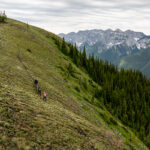
BC Wildfire Service