Home »

Wawawai out there
When you look at maps, especially the large scale highway models, think for a second about onions.
By that, I mean consider layers. Most people don’t do that. They look at maps, figure out where they need to go based on the ‘main road’ directions provided in them, and head from point A to point B.
I have extensive experience driving around the Pacific Northwest and there are few main roads I haven’t traveled at least once in western Montana, the northern half of Idaho and eastern Washington. When you get used to driving certain routes, you begin to assume that you have an idea about the lay of the land – and that is complete bunk.
A few years ago I discovered the joys of Benchmark Maps road and recreation atlases – specifically for Montana, Idaho and Washington. This coincided with the good fortune of being able to use a friend’s cabin in northern Idaho for getaways and to serve as a base for exploration.
On a beautiful weekend in mid July we decided to meander down to Lewiston, Idaho. I had been studying the Washington atlas, looking for the ‘Scablands’ when I discovered a road that meandered through the Snake River Canyon.
If you look at ‘regular’ maps of Idaho or Washington, you won’t see this road. Peel a layer off the onion, head into ‘rural America’ and discovered wondrous roads taking you where you were heading in the first place.
In this case, we took a route that led from Wawawai County Park to Lewiston, through the Snake River Canyon. The road follows the east side of the Snake River for about 27 miles (thereabouts).
Beginning in the Grand Tetons in western Wyoming, the Snake River (1,078 miles/1,735 km is the largest tributary of the Columbia River, entering it at Tri-Cities, Wash.
What makes this road so fascinating is the depth of the Snake River Canyon at this point. It is essentially the tailing off portion of Hell’s Canyon meeting up with Washington’s Palouse Hills, oft carved through the eons of Earth’s earlier history by Glacial Lake Missoula floods.
The 10-mile/16-km wide Hell’s Canyon is North America’s deepest river gorge – with a maximum depth of 7,993 feet (2.43 miles). The canyon depth along the Wawawai Road isn’t that great, but it is darned impressive, even for someone from the Kootenays.
The air was noticeably heavier and much more humid down in the canyon than it was back up around Pullman.
Topping our exploratory tour was an overnight stop in Lewiston (population 32,000), which is a seaport – the closest to the East Kootenay.
The Port of Lewiston, at the confluence of the Clearwater and Snake Rivers, is the farthest inland seaport on the western half of North America.
Lewiston is an easy and scenic 115 mile drive down Highway 95 from Coeur d’Alene. In total, it is about a 4.5 hour drive from Cranbrook to Lewiston.
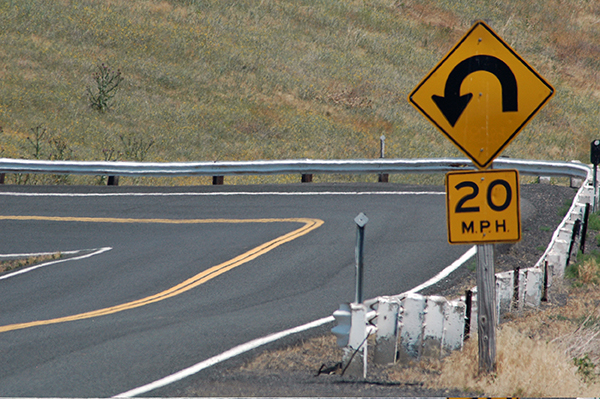
To access Wawawai County Park, head just northwest of Colton on Highway 195 in Washington and take the Wawawai –Pullman Road (Rd. No. 9010) for 9.5 miles (15 km). Follow this winding country road, which leads to Wawawai Road (Rd. No. 9000) – and turn right. This is where it starts getting really cool. You will notice the road heading down – and down and down for 5.5 miles (8.8 km) through Wawawai Canyon to Wawawai County Park.
Please click on an image to enlarge and to begin self-directed slide show.


For more on the park: https://www.whitmancounty.org/ssi.aspx?ssid=86
Ian Cobb/e-KNOW