Home »
Ecosystem burn planned for old Kimberley Airport area
The BC Wildfire Service will be supporting the Rocky Mountain Trench Society and the Rocky Mountain Resource District in conducting an ecosystem restoration burn covering up to 320-hectares.
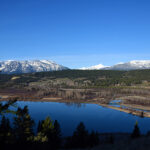
The prescribed burn area is about 18 kilometres east of Kimberley and about 23 kilometres north of Cranbrook, near the Old Kimberley Airport. Smoke may impact residents close to the burn area and will be highly visible from Kimberley, Cranbrook and surrounding communities, and to motorists travelling along Highway 93 and 95A.
The exact timing of this burn will depend on weather and site conditions, but it could begin as early as Monday Apr. 12. Burning will proceed if conditions are suitable and allow for smoke dispersal during burn operations, though light smoke may also linger in the following days.
Key goals of this prescribed burn include:
- restore a more open forest structure by reducing tree density;
- maintain wildlife ecosystems, including ungulate winter range;
- rejuvenate understory vegetation (e.g. under the tree canopy);and,
- reduce wildfire severity.
Fire is a normal and natural process in many of B.C.’s ecosystems. The BC Wildfire Service works regularly with land managers to undertake fuel management activities (including the use of prescribed burns), to help achieve land management objectives, reduce the severity of future wildfires and increase ecosystem and wildfire resilience.
Learn more about prescribed burning online: https://ow.ly/20Su50Ax89j
To report a wildfire, unattended campfire or open burning violation, call 1 800 663-5555 toll-free or *5555 on a cellphone. For the latest information on current wildfire activity, burning restrictions, road closures and air-quality advisories, visit: https://www.bcwildfire.ca /
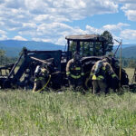
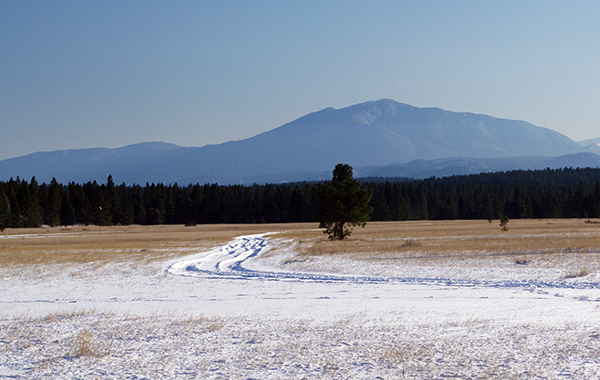
Lead image: The Old Kimberley Airport area. e-KNOW file photo
BC Wildfire Service