Home »
Flood warning for Kootenay River and tributaries
The BC River Forecast Centre (BCRFC) has upgraded its FLOOD WATCH to a FLOOD WARNING for the Kootenay River, including tributaries around Kootenay National Park, Fort Steele, the upper Kootenay River and surrounding areas.
It is maintaining a FLOOD WATCH for the rest of the East Kootenay.
The BCRFC says rivers have been rising due to accelerated snowmelt this week and the convective rain earlier in the week demonstrated how responsive rivers are to rainfall in areas of the Kootenays.
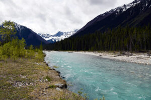
High flows are expected Saturday through Monday or Tuesday across the region.
Elevated river levels are already present due to high snowmelt rates this week, with flows having already exceeded the 10-year return period flows on the Blaeberry River, Spillimacheen River, Lardeau River and Kootenay River, and many other rivers flowing at around the two-year to 10-year return period flow.
You can see their full Flood Warning/Flood Watch bulletin by CLICKING HERE.
OTHER UPDATES:
A new sandbag station has been set up at the Wilmer Community Hall due to rising water levels in Wilmer Lake and the irrigation ditches it feeds.
In Radium Hot Springs, the Sinclair Creek Trails have been closed due to high water levels.
A list of sandbag stations along with the latest updates can be found on the Emergency Information page on www.rdek.bc.ca.
Municipal residents should also follow their local municipality pages. Further updates will be provided as information is available.
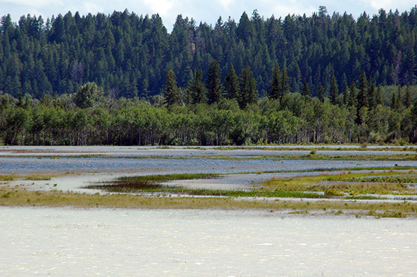
Lead image: The Kootenay River near Wasa after bursting its banks in June 2012. e-KNOW file photo
RDEK