Home »
Winter storm expected for most of region
Welcome to the first day of winter.
Yesterday’s winter storm watch issued by Environment Canada for the Elk Valley has today turned in a winter storm warning for most of the East Kootenay.
Environment Canada this morning warns a major winter storm is expected for the Elk Valley and Cranbrook/Kimberley areas, while a snowfall warning is in effect for the Columbia Valley. Kootenay National Park is not included in the alerts but 10 to 15 cm of snow is forecast.
“A deepening Pacific low will make its way across Washington state during the day then will cross the southeast corner of B.C. tonight. Abundant moisture associated with the system combined with cold air to the north of its trajectory will produce heavy snowfall across the southern interior of British Columbia. Snow will begin this morning and become heavy this evening before tapering off Tuesday morning,” Environment Canada reported.
Total snowfall accumulation of 15 to 25 cm is expected across southeastern B.C. For Kootenay Pass, amounts up to 40 cm are possible. Over the southernmost regions, precipitation may change to rain this evening which will limit the snowfall amounts locally.
Snowfall with total amounts of 10 to 20 cm is expected in the Columbia Valley, according to Environment Canada.
Consider postponing non-essential travel until conditions improve.
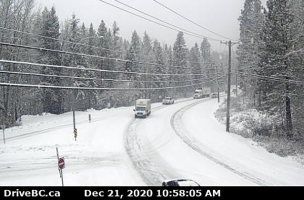
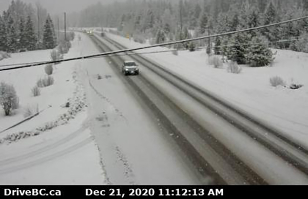
Lead image: Highway 95A in Kimberley earlier this morning. DriveBC images

e-KNOW